


Transportation information for Ithaca is provided below. Travel information includes driving directions, maps, airport information and more.
Transportation Services
Martin's Taxi
- cortland
- Transportation Services
- 607-345-8666
Airports
The Ithaca Tompkins Regional Airport provides service to the Ithaca area and is serviced by airlines such as Northwest Airlink, America West, US Airways Express, and United Airlines. Flights are available to several major cities with in the region such as Detroit, Pittsburgh, Philadelphia, and New York City. An alternative airport is the Syracuse Hancock International Airport located about 40 miles to the northeast in Syracuse. The airport is serviced by several major airlines such as Delta Air Lines, Continental Airlines, Northwest Airlines, JetBlue and more.
Ithaca Tompkins Regional Airport
- 3 miles NE from Ithaca
- ITH
- Public
- 607-257-0456
Map + Directions
Basic Directions
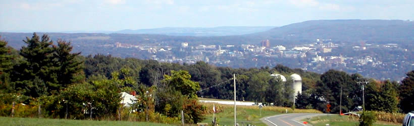
Although the town is not easily accessible to the main thoroughfares and requires driving through narrow country roads to reach the city, it is worth the extra effort to get there. The city is about 180 miles west of Albany and about 40 miles southwest of Syracuse and is surrounded by pastoral scenery on all sides, making the drive a visually rich experience.

