


Weather information for the Fort Collins area is provided below. Average temperatures, climate details and current forecasts are included!
Climate
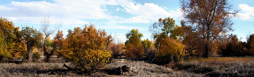
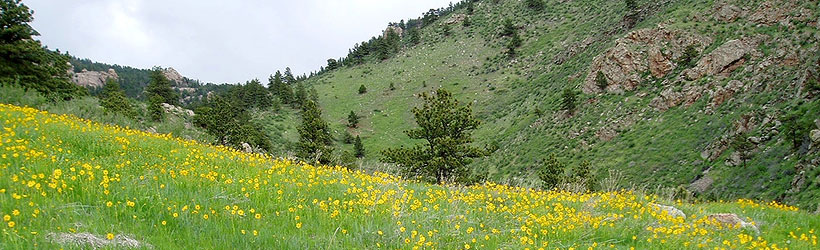
Fort Collins features generally pleasant temperatures, with around 300 days of sunshine a year. In winters there is snow, but it rarely stays on the ground for long.
| Jan | Feb | Mar | Apr | May | Jun | Jul | Aug | Sep | Oct | Nov | Dec | ||
| Avg. High | 42 | 47 | 54 | 61 | 71 | 81 | 86 | 84 | 77 | 65 | 51 | 44 | |
| Avg. Low | 14 | 19 | 26 | 33 | 43 | 51 | 57 | 55 | 46 | 35 | 23 | 16 | |
| Precipitation | 0.4 | 0.4 | 1.3 | 1.8 | 2.3 | 1.9 | 1.6 | 1.2 | 1.4 | 1.0 | 0.7 | 0.3 | |
Live weather is currently unavailable.
Please visit weather.gov for current and forecasted weather.
Overnight
Chance Rain And Snow Showers
Thursday
Chance Snow Showers
Thursday Night
Chance Rain Showers then Chance Rain And Snow Showers
Friday
Chance Rain And Snow Showers
Friday Night
Showers And Thunderstorms then Rain And Snow Showers
Saturday
Snow Showers Likely then Chance Showers And Thunderstorms
Detailed Forecast |
|
|---|---|
| Overnight | A chance of rain showers before 2am, then a chance of rain and snow showers. Cloudy, with a low around 33. North northeast wind 12 to 18 mph, with gusts as high as 30 mph. Chance of precipitation is 50%. New rainfall amounts less than a tenth of an inch possible. |
| Thursday | A chance of snow showers before noon, then a slight chance of rain and snow showers. Mostly cloudy. High near 43, with temperatures falling to around 41 in the afternoon. East wind 7 to 12 mph, with gusts as high as 18 mph. Chance of precipitation is 30%. New rainfall amounts less than a tenth of an inch possible. |
| Thursday Night | A chance of rain showers before 1am, then a chance of rain and snow showers. Mostly cloudy, with a low around 32. East southeast wind 5 to 9 mph. Chance of precipitation is 30%. |
| Friday | A chance of rain and snow showers. Mostly cloudy, with a high near 53. Northeast wind 6 to 13 mph, with gusts as high as 18 mph. Chance of precipitation is 50%. |
| Friday Night | Showers and thunderstorms before midnight, then rain and snow showers. Cloudy, with a low around 32. East northeast wind 6 to 13 mph, with gusts as high as 18 mph. Chance of precipitation is 80%. Little or no snow accumulation expected. |
| Saturday | Snow showers likely before 9am, then rain and snow showers likely between 9am and noon, then a chance of showers and thunderstorms. Mostly cloudy, with a high near 48. Chance of precipitation is 60%. Little or no snow accumulation expected. |
| Saturday Night | Mostly cloudy, with a low around 32. |
| Sunday | A slight chance of showers and thunderstorms after noon. Mostly sunny, with a high near 71. |
| Sunday Night | Mostly cloudy, with a low around 41. |
| Monday | A slight chance of showers and thunderstorms after noon. Mostly sunny, with a high near 71. |
| Monday Night | Mostly cloudy, with a low around 39. |
| Tuesday | A slight chance of showers and thunderstorms after noon. Partly sunny, with a high near 71. |
| Tuesday Night | Partly cloudy, with a low around 43. |
| Wednesday | A slight chance of showers and thunderstorms after noon. Mostly sunny, with a high near 78. |